


Description
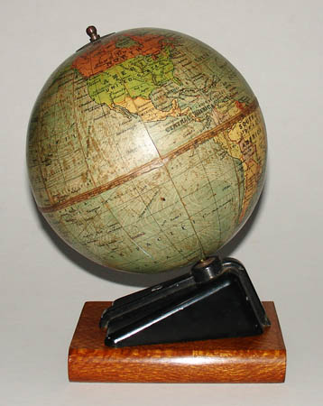
The terrestrial globe shows nations, rivers and cities, ocean currents and major shipping routes with distances in nautical miles. Geographic entities are colored in shades of red, orange, yellow and green, and are apparently color-coded based on territories and colonies, though not noted as such. Red and light red areas correspond to British Commonwealth nations, territories and colonies, including areas surrounding the Antarctic, outlined in red; France and French colonial areas in Africa are colored green; and Italy and Italian colonies in Africa are orange.
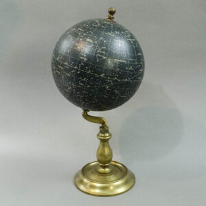
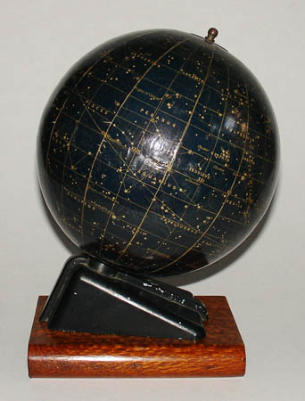
The celestial globe shows constellations against a dark blue night sky by solid white lines connecting the stars and dotted white lines indicating their boundaries. The stars are drawn to five degrees of magnitude, corresponding to a key in the cartouche. Some stars are named and most are labeled with Greek letters. The Milky Way is indicated.
For more information on George Philip & Son, please see our Guide to Globe Makers.
Oval cartouche, terrestrial globe: PHILIP’S/ 6 inch/ TERRESTRIAL GLOBE/ LONDON/ GEOGRAPHICAL INSTITUTE/ GEORGE PHILIP & SON, LTD. 32 FLEET STREET/ PRINTED IN GREAT BRITAIN.
Oval cartouche, celestial globe: PHILIPS’/ Popular/ CELESTIAL GLOBE./ Magnitudes/ [key to 5th magnitude]/ LONDON/ G. PHILIP & SON 32 FLEET ST. PRINTED IN GREAT BRITAIN.